Road Segmentation on Satellite Images
This is a class project for the course ‘Machine Learning’ at EPFL which took form as an AIcrowd chalenge. The project was done in groups of 3 students.
The goal was to implement a deep learning model that could detect roads out of satellite images. The dataset used for training and testing the model was provided by the course, it contained 100 images of size 400x400 pixels for training and 50 images of size 608x608 for testing.

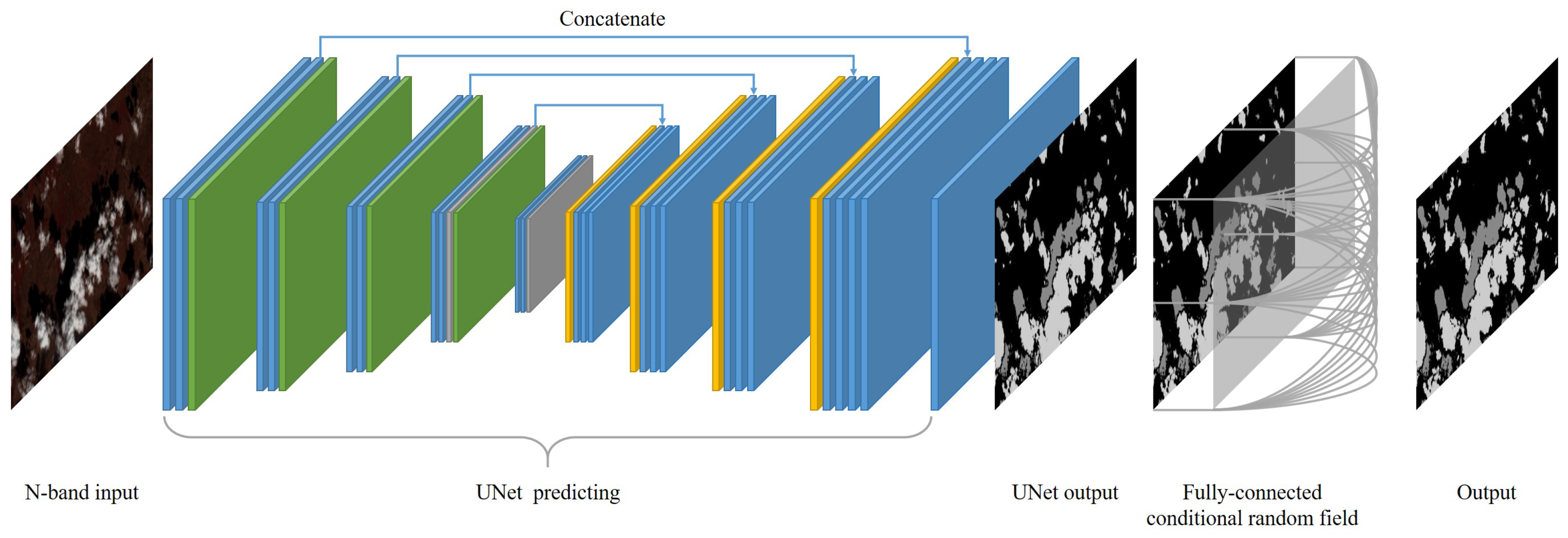
Using a UNet architecture, along with an appropriate loss function, we were able to achieve an F1 score of 0.908 on the test set, leading us to the 4th place of the leaderboard.

